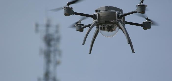
The use of drones by land surveying teams across Australia is becoming more common. Not only are drones more efficient, but they also allow for safer working conditions, better data and more accurate models. Drones also offer significant savings when it comes to land surveying costs. How Surveyors Use Drones Using drones to collect data
News

As another challenging year draws to a close, we would like to take this opportunity to wish all our clients and their families a very Happy Christmas and prosperity throughout the coming year. Thank you for your continued support and partnership. We look forward to working with you in the years to come. – The
Land surveying is careful and detailed work, but like any industry, mistakes can and do happen. Homeowners, contractors, business owners and architects all depend on land surveyors when buying or selling property or beginning a construction project. When mistakes are made, even minor ones, the result can be lost time and money. Here are some
Do I Need A Survey For A Fence? Most of the time, neighbours are happy to work together when there is a problem with a fence or a question over a boundary line. However, there are times where you and your neighbour will not be able to reach an agreement, or the other party is
Residential identification surveys are essential for all home buyers and those thinking about renovating or extending. These comprehensive surveys analyse not only your property boundaries but include existing structures, trees, and other surface or subterranean features. These are key points for builders to be aware of, and ensure your home build or renovation can be
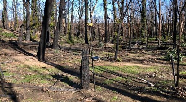
One of the first stages of rebuilding after a bushfire is surveying. This might be a ground survey so an architect can do a new design or re-establishing boundary lines so fences can be replaced. A property’s boundaries are reliant on a number of factors including plans held in the NSW Land Registry office, permanent

As we all adjust to the new normal, we thought we’d give you a quick update on how COVID-19 is affecting our business. Firstly, we are open and still conducting surveys. However, our office is closed for face to face meetings and our staff will be answering calls from home. Secondly, surveying is mostly a

Leslie and Thompson would like to wish all our clients a very happy Christmas and a peaceful and prosperous 2020. Thank you for all your support during 2019 and we look forward to working with you again.
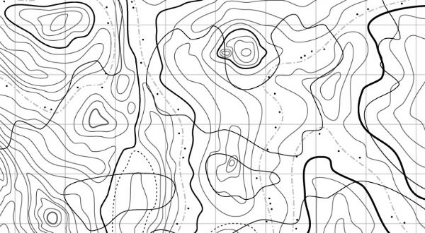
Printed topographic maps are a beautiful thing but soon they will be a thing of the past. Geoscience Australia announced a couple of weeks ago that December 13th this year will mark the last run of its printed topographic maps. The Decline of Topographical Cartography A steady decline in demand and high production costs are

A few years ago we wrote about Adverse Possession Law, more commonly known as Squatters’ Rights. Adverse Possession cases are rare, but when they do occur, they are complex and technical and require the services of a registered surveyor. Late last year, a case of adverse possession (McFarland v Gertos [2018] NSWSC 1629) was proven