Surveying can seem a mystifying, complicated process to a non-surveyor or to a homeowner who simply knows they need a survey.
Put simply, surveying uses maths, physics, and engineering principles to take big measurements. Surveys are used to determine the:
- Location of existing infrastructure
- Legal boundaries of a plot of land
- Topography and slopes of a piece of lands
Land Survey Methods
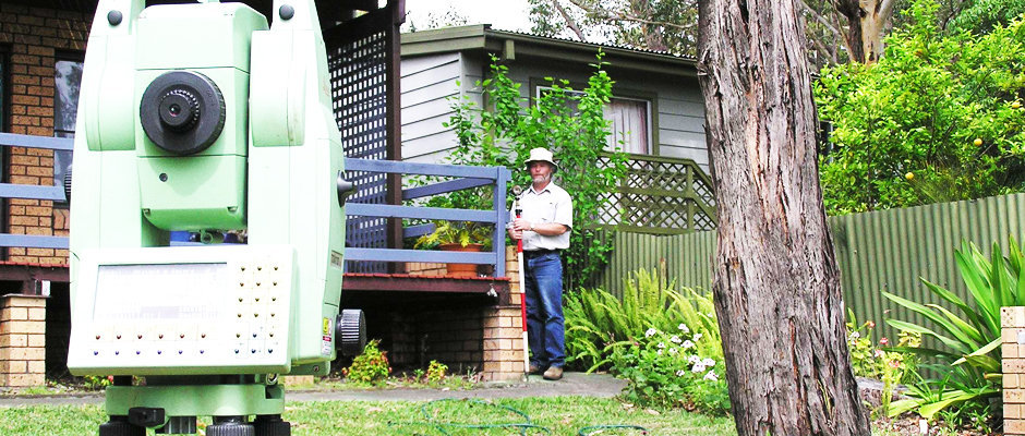
The primary surveying instrument used by all surveyors is the theodolite which measures angles on vertical and horizontal planes. Other common instruments and equipment include:
- Level & Rod (calculates points along planes)
- Total Station (measures distance from a specific point using an electronic distance meter)
- GPS Systems
- Unmanned Aircraft
- Tape Measures
- 3d Scanners
Types Of Land Survey
The most common type of land survey is an identification survey. This survey is required when buying or selling a property. The identification survey measures and labels all property boundaries as well as the placement of the home, fences, and any other buildings. An identification survey also includes information on underground structures, setbacks and other important boundary markers.
Other common surveys include:
- Subdivisions
- Strata and Community Title Subdivisions
- Engineering Surveys
- Large Project Surveying
- Large Area Mapping
Shoalhaven Surveyors
Need a survey in Nowra or the surrounding Shoalhaven? Talk to the expert surveyors at Leslie & Thompson. We can handle all your residential survey needs as well as larger projects. Get in touch today.