In recent years, there has been a marked increase in the number of costly natural disasters.
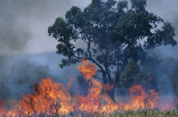
Natural disasters include events like cyclones, floods, droughts, bushfires, earthquakes, volcanoes, tsunamis, and landslides. These events not only have a huge impact on world economies but also take an immeasurable human toll, potentially affecting millions of people.
With the number of natural disasters on the rise, there are calls for changes to be made to building codes across the globe as well as encouraging people to be prepared for a catastrophic event. Always have a supply of spare water, non-perishable food, light, spare clothing and copies of your important documents should you unexpectedly have to evacuate your home or city.
So, where does land surveying fit into this?
Re-establishing Property
Following a significant natural disaster, the immediate concern is the relief effort. Depending on the disaster and its severity, volunteer organisations and government entities will be deployed to assist in sorting through the aftermath. This is, of course, the first priority, as the safety, health, and wellbeing of an area’s inhabitants is of utmost importance.
But after the dust has settled, the time comes to rebuild. This is where land surveyors can have a remarkable hand in the reconstruction process. An important task of the land surveyor following a natural disaster will be to reassess or confirm boundaries of property ownership. There will usually be existing land records and other documents to help the surveyor in this process. However, a natural disaster can completely change the appearance of land and a surveyor will need to employ a range of techniques to minimise errors and potential conflict when re-establishing property boundaries. These include:
- distance measurement
- angle measurement
- levelling
- position determination
- reference networks
- datums
Once the land has been deemed safe for rebuilding communities and landowners can then start the process of reconstructing homes, schools and shops.
Leslie & Thompson: Local Surveyors
In the event of a natural disaster, we are the local Shoalhaven land surveyors you can depend on. Our team is ready to assist in the reassessment and boundary setting of your property to help you move on and re-establish a home base in the face of crisis. With Leslie & Thompson, you’re in good hands for all your surveying and land mapping needs.